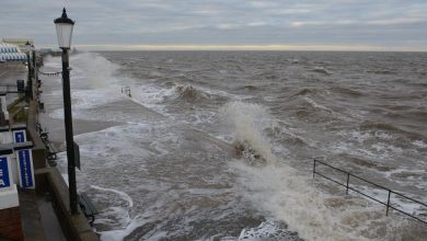
It is in place from 12pm to 8pm today (September 12) and the forecaster has said heavy showers and thunderstorms may cause disruption to travel.
The warning covers the entirety of the region, including Suffolk and the South East.
Yellow warning of thunderstorm affecting East of England https://t.co/qOzjqAZgIH pic.twitter.com/hmEVnAJihr
— Met Office – E England (@metofficeEEng) September 12, 2023
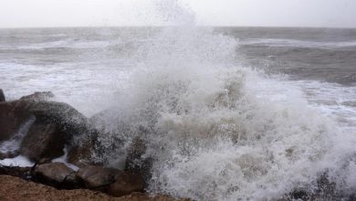
Flash flooding and sudden showers can lead to difficult driving conditions and some road closures, the Met Office warns.
Where flooding or lightning strikes occur, there is a chance of delays and some cancellations of train and bus services.
READ MORE: Rare supercell storm spotted off Hunstanton coast
There is also a slight chance that power cuts could occur and properties could be flooded quickly.
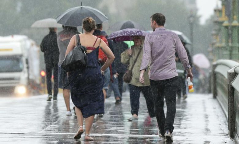
The renewed warning comes shortly after a record-beating heatwave swept the country, topping charts with the most consecutive days with temperatures above 30C in September.
Thursday was the hottest day of the year so far, with 32.6C recorded in Wisley, Surrey.
The previous highest temperature for the year was set in June at 32.2C.
Read the full article here